
Cemetery mapping with GPR and GPS is the wisest investment
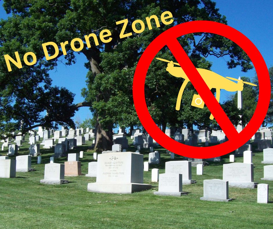
Cemetery management requires accurate mapping to locate graves, plan expansions, and maintain burial records. While drone cemetery mapping is becoming popular, it has significant limitations. The combination of ground-penetrating radar (GPR) and on-site GPS data collection offers a more precise and reliable solution. Here’s why cemetery GPR and GPS mapping are superior to mapping your cemetery with drone capture.
1. GPR Reveals What Drone Cemetery Mapping Misses
Drone mapping relies on aerial photography, which provides a general layout of the cemetery. However, it cannot detect unmarked graves, buried vaults, or underground obstacles. GPR scans beneath the surface, ensuring no burial sites are overlooked. This is crucial for cemetery operators who need to confirm burial locations and prevent accidental disturbances.
2. GPS Mapping Provides More Accurate Cemetery Layouts
While using a drone for cemetery mapping produces high-resolution images, it often lacks precise georeferencing. On-site GPS mapping, especially with professional-grade equipment, records graves, pathways, and section boundaries with pinpoint accuracy. Even small measurement errors in cemetery mapping can cause major problems, making accuracy essential.
3. Cemetery GPR and GPS Mapping Improve Cemetery Operations
Cemetery staff need accurate and practical maps to efficiently manage burial plots and future planning. Cemetery maps created by drones provide a bird’s-eye view but lacks the depth required for daily tasks such as:
- Confirming available plots with certainty.
- Verifying burial records against actual grave locations.
- Planning new roads, pathways, and landscaping while avoiding unmarked graves.
4. Works in Any Cemetery Environment
Drone data collection struggles with obstacles like trees, mausoleums, and adverse weather conditions. These factors can obscure important details and make aerial imagery unreliable. GPR and GPS mapping work regardless of tree cover, shadows, or weather, delivering accurate results in any setting.
5. Seamless Integration with Cemetery Management Software
The data collected from GPR and GPS can be easily integrated into cemetery management systems. Drone cemetery mapping, however, often requires additional processing and manual adjustments before the data is usable, adding unnecessary complications.
6. A Better Long-Term Investment for Cemeteries
Using drones to map a cemetery may seem like a quick and inexpensive solution, but it requires frequent updates to stay current. GPR and GPS mapping offer a more cost-effective long-term investment, as they provide highly accurate and actionable data that helps cemeteries avoid costly mistakes and improve efficiency.
Conclusion
While cemetery mapping services that utilize drone data capture can provide a broad visual overview, the result lacks the precision and depth required for effective cemetery management. GPR and on-site GPS data collection deliver superior accuracy, usability, and long-term value. Cemetery operators seeking the most reliable mapping solution should prioritize cemetery GPR and GPS over drone cemetery mapping for better results and smoother operations.
We have helped several clients who came to us after their drone mapping projects did not deliver the results they expected. Contact us today find out more about our services and for a free quote.
Find more resources for preserving and managing your cemetery HERE.