
There are at least 5 reasons to map your cemetery before the end of the year. As the calendar winds toward year-end, now is the ideal time to prioritize your cemetery mapping project. Whether you’re responsible for a historic burial ground or a growing municipal cemetery, accurate mapping is essential for effective management, compliance, and community trust. At ViaVista Mapping, we specialize in using GPS, GIS, and Ground Penetrating Radar (GPR) in cemeteries to help cemetery operators modernize their records and preserve history for generations to come.
If you’ve been considering cemetery mapping, here are five compelling reasons to start your project before the end of the year:
One of the 5 Reasons to Map Your Cemetery is to Take Advantage of Budget Year Deadlines
Many organizations operate on a fiscal calendar that resets in January. Allocating funds now allows you to use remaining budget before it disappears—especially if your organization has “use it or lose it” policies. Even if you’re not ready for full deployment, booking a preliminary survey or consultation can secure your place on the schedule.
Optimal Field Conditions
Late summer and early fall provide some of the best weather conditions for fieldwork. Dry ground, long daylight hours, and stable weather make it easier for our team to collect high-accuracy GPS data and perform cemetery GPR scans without weather-related delays. Waiting too long may mean postponing work until spring.
Get a Head Start on Spring Projects
Mapping now means you’ll be ready to hit the ground running in the new year. With updated records, digital maps, and burial inventory in hand, your team can plan spring cleanups, maintenance, expansions, or new plot sales with confidence and clarity.
Stay Ahead of Compliance & Recordkeeping Needs
More and more municipalities and private cemeteries are being asked to maintain transparent, accessible records. GPS and cemetery GPR mapping provide an auditable, digital foundation for everything from sales to historical preservation. By completing your mapping project now, you’ll be well-positioned for audits, grant applications, or public inquiries that may arise in the coming year.
Last but not least of the top 5 reasons to map your cemetery is to Preserve History and Honor the Departed
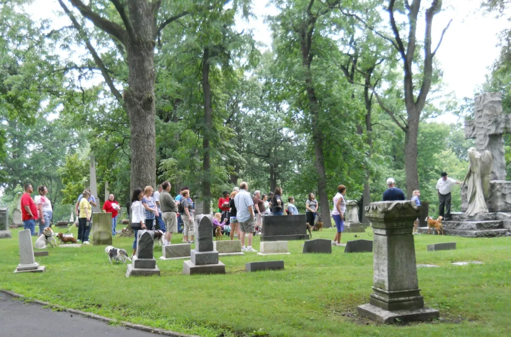
Every season brings changes to the landscape—erosion, overgrowth, weather damage, or development pressures. Mapping your cemetery now captures the current condition and ensures every grave, marked or unmarked, is accounted for and protected. It’s one of the most meaningful steps you can take to preserve heritage and honor those laid to rest.
Wrapping up the top 5 reasons to map your cemetery . . .
Let’s Make It Happen
If you’re ready to modernize your records, locate unmarked graves, or simply gain peace of mind, we’d love to help.
Contact us today to discuss your cemetery’s needs and reserve your spot on our calendar.
Additional Resource
If you’re seeking funding or need more background on digital recordkeeping in cemeteries, check out this helpful guide from the National Preservation Institute:
Digital Cemetery Recordkeeping and Mapping: Best Practices (npi.org)