
GPS Cemetery Mapping
GPS data collection turns field observations into permanent, precise documentation. We use a high-accuracy Trimble R2 GNSS receiver paired with Trimble collection software and Esri’s ArcGIS platform to record exact coordinates for every relevant cemetery feature.
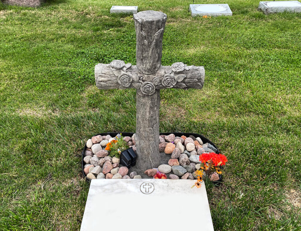
On-site, we capture GPS points for headstones, unmarked burials identified through GPR scanning, coping areas, fences, monuments, and structures. We also photograph headstones and other pertinent features, creating a visual record that supports both daily operations and long-term preservation planning.
The result is an authoritative, as-built burial plot map that replaces outdated paper records and can be updated as your cemetery changes over time.
Interactive Cemetery WebMaps
Once field data is collected and processed, we build an interactive WebMap on the Esri ArcGIS platform. Accessible from any device with an internet browser, this tool changes how your cemetery shares information with families, genealogical researchers, and the broader public.
Visitors can search by the name of the deceased, view precise plot locations, and access headstone images without ever contacting your staff. For New York cemeteries that regularly receive genealogical inquiries tied to immigration and settlement history, that kind of public-facing access significantly reduces the administrative burden on your team.