There are many challenges that come with effectively operating a cemetery due to a lack of cemetery mapping:

INCOMPLETE, INACCURATE, AND CONFUSING DOCUMENTATION
In many communities, cemetery data is documented in spreadsheets, handwritten and typed books, coffee-stained maps, and even only known by one individual. Managing a cemetery with this kind of disjointed data can cause headaches for those running the cemetery and even frustration in the public. With cemetery mapping services, the operations of the cemetery are run smoothly, and well-informed decisions are made.
UNCERTAINTY ABOUT LOCATION OF UNMARKED BURIALS
How sure are you that the open spaces in your cemetery are actually unoccupied? Requests coming in for burial space may conflict with unmarked burials that are not identified. With GPR cemetery mapping, such conflicts can be avoided.
DIFFICULT TO SHARE INFORMATION WITH THE COMMUNITY
With the growing interest in genealogical research, cemetery managers are fielding requests for information from the public and have few good options for readily sharing that information.
WORKING WITH INCORRECT RECORDS COMPOUNDS ERRORS
Decision-making using inaccurate and inconsistent records leads to errors, and those errors lead to more errors.
How we can help
- We come to your site to conduct document review, field observations, stakeholder discussion, and GPS collection, and we combine that information to create accurate cemetery documentation
- We use state-of-the-art ground-penetrating radar equipment to discover and record the location of unmarked burials.
- We create an interactive WebMap of your cemetery that is accessible from any device that has an internet browser, and that is connected to the internet.
- Our cemetery mapping process incorporates a high-accuracy GPS collection of detailed cemetery features that generate new, authoritative documentation that can be easily updated as needed.
OUR CEMETERY MAPPING SERVICES ARE AVAILABLE ACROSS THE U.S.
ViaVista Mapping Services uses the latest technologies in Ground Penetrating Radar and GPS/GIS data collectors to create precise maps of cemetery acreage. We are dedicated to providing affordable cemetery mapping services to cemeteries around the country.
MAPPING IS A VITAL TOOL FOR CEMETERY MANAGERS
OUR CEMETERY MAPPING SERVICES WILL HELP YOU PRESERVE YOUR CEMETERY’S HISTORY FOR GENERATIONS TO COME
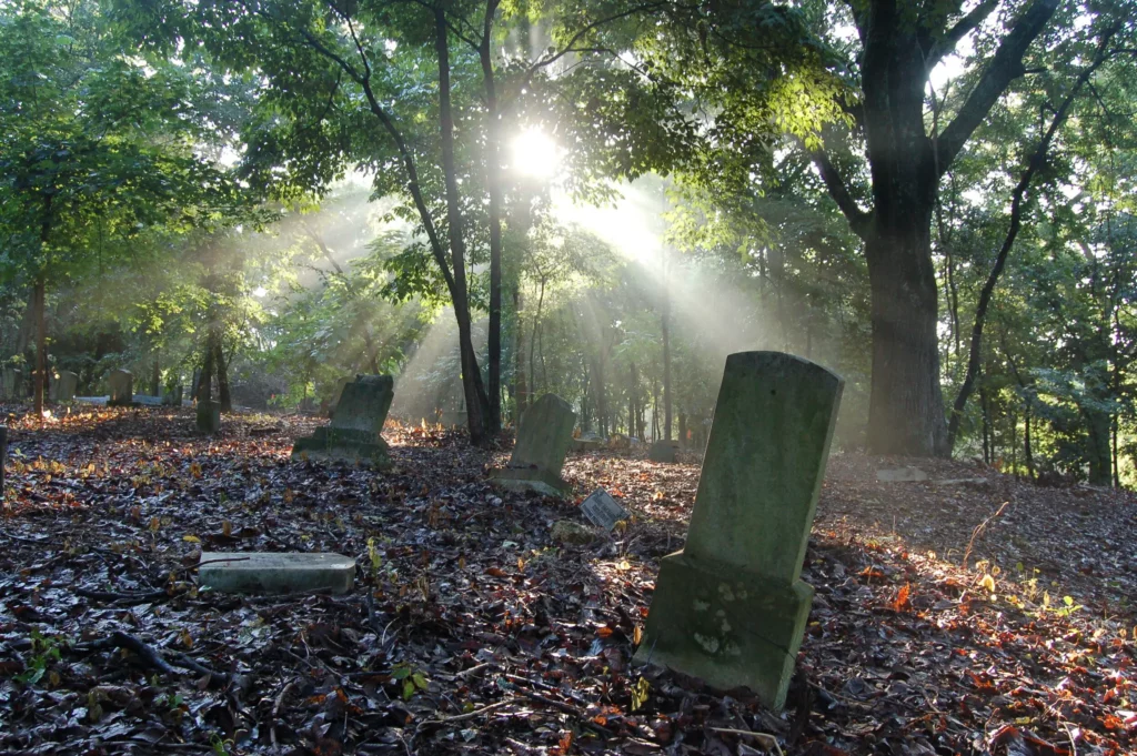
Preserving a cemetery not only honors the departed, but also ensures that it will continue to convey its inherent social, cultural, and historic values to future generations of the community’s residents. Cemeteries contain information on the area’s social, cultural, and historic heritage while providing genealogical data and information on the history of a particular place, religious practice, and lifestyle. They also display the folk art of tombstone carving and preserve the natural features of the landscape.
Cemetery mapping is a vital, foundational step in preserving your cemetery by creating accurate documentation of the cemetery’s features as well as identifying needs for future restoration. GPS Cemetery mapping will increase interest in your cemetery with a new audience. It will bring a new audience and potential customers to your cemetery. As a business, you will have a thorough list of your inventory and be able to optimize the space remaining in your grounds.
Contact us today find out more about our services and for a free quote.
