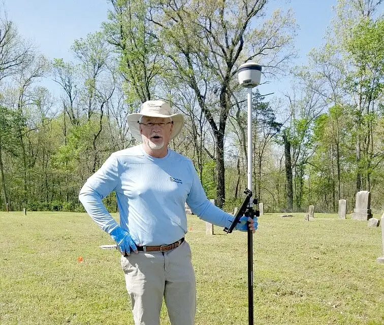
Finding unmarked graves in the news as reported by The McDonald County Press.
Joyce Haynes of the Shelt Noel Cemetery Board said 46 unmarked graves were recently discovered at the cemetery.
The board hired Scott Field of Via Vista Mapping, a GIS web map specialist, to bring ground-penetrating radar to search for unmarked graves.

Haynes said Field discovered the following information:
• The oldest grave goes back to 1865.
• All the burials face east. Ninety percent of graves in the U.S. face east. In the Shelt Noel Cemetery, the inscriptions face away from the graves and can’t be seen when standing at the grave’s foot. This is a practice used in the Midwestern part of the U.S.
• Marked and unmarked graves were placed in horizontal rows, which is by far the standard in America.
• A remarkable feature of the 46 unmarked graves was how deep they were — as deep as eight feet, far deeper than modern graves.
• He said the ground is rocky, and it was extremely difficult to pierce the surface even to place the marker flags, but after the first few inches, the soil was soft. He thinks that might be why early settlers thought this might be the best place for a cemetery.
Haynes said Field is making a web link that will be available for people to review the results of his work. There will be a QR code embedded in the ground at the cemetery that people can scan when they visit.
Regarding identifying the unmarked graves, Haynes said in the past, unmarked graves have traditionally been identified by local folk who know someone buried at the cemetery. She said it will be a mystery until someone comes forward.
Shelt Noel Cemetery is a private cemetery located on H Highway, with a few local families having members buried there. There is one veteran buried there, Haynes said.
See the map for this cemetery HERE and additional featured maps HERE.
Finding unmarked graves in the news as reported by The McDonald County Press.
Contact us today find out more about our services and for a free quote.
