
About Us
Founded in 2018, ViaVista Mapping was established with a clear vision: to help communities preserve their history and heritage for generations to come through advanced cemetery mapping. Utilizing Ground Penetrating Radar (GPR), precise GPS data collection, and the industry-standard ArcGIS platform, ViaVista Mapping creates highly accurate and visually rich cemetery maps that document burial sites, locate unmarked graves, and enhance cemetery management.
Committed to both historical preservation and operational efficiency, ViaVista Mapping provides affordable, high-quality mapping solutions that enable cemetery operators to streamline record-keeping, improve operations, and plan for future needs. By blending cutting-edge technology with a deep respect for history, ViaVista Mapping ensures that cemeteries remain well-documented, organized, and accessible for generations to come.
Our Team
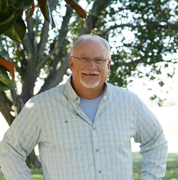
Scott Field
Scott Field is the founder of ViaVista Mapping and a leading expert on the use of Ground Penetrating Radar in cemeteries (GPR), GPS cemetery data collection, and cemetery visualization. With a deep understanding of geospatial technology, he specializes in creating detailed, state-of-the-art visual representations of cemetery landscapes, helping communities document and preserve their burial sites with accuracy and clarity. Scott’s expertise in GPR allows him to locate unmarked graves and underground features, while his advanced GPS mapping techniques ensure precise cemetery records. Passionate about honoring and preserving a community’s heritage, he works closely with cemetery operators, municipalities, and historical organizations to provide innovative mapping solutions. Through his leadership at ViaVista Mapping, Scott continues to set the standard for high-quality cemetery mapping, ensuring that burial sites remain well-documented and accessible for future generations.

Christina Field
Christina Field is a GIS specialist with a passion for cemetery mapping and digital preservation. With extensive experience in Geographic Information Systems (GIS), she has worked on dozens of cemetery mapping projects, helping cemeteries accurately document burial records, locate unmarked graves, and improve long-term planning. Christina is the creator of ViaVista Mapping’s custom and proprietary cemetery mapping platform built on ArcGIS, designed to provide cemetery operators with an intuitive, data-driven solution for managing plots, records, and historical information. Her expertise in geospatial technology allows her to transform outdated paper records into modern, interactive digital maps, making cemetery management more efficient and accessible. Dedicated to innovation and preservation, Christina continues to advance cemetery mapping through cutting-edge GIS applications, ensuring that burial sites remain well-documented for generations to come.