
Modern cemetery design and planning require accurate information about what lies beneath the surface. Ground penetrating radar, or GPR, is a way for cemetery managers to identify available burial space, locate unmarked graves, and detect subsurface hazards before making decisions about expansion, maintenance, or infrastructure improvements.
GPR Cemetery Planning Prevents Costly Mistakes
Planning cemetery expansions or maintenance projects without knowing what’s below ground is expensive guesswork. A plot marked “available” in the 1970s records might contain an unmarked burial. An area slated for new roads could hide utility lines that no one documented. Wooden markers rot away, stone monuments sink into the soil, and even well-intentioned record-keeping leaves gaps when families bury loved ones in purchased plots without updating the office records.
Ground-penetrating radar cemetery mapping reveals what’s underneath the surface. Instead of discovering problems mid-project (graves where there shouldn’t be any, vaults blocking planned construction, tree roots that will destroy equipment), cemetery managers get accurate subsurface data upfront. That information shapes smarter decisions about where to expand, where to route utilities, and which areas genuinely have capacity for future burials.
How Ground Penetrating Radar Works
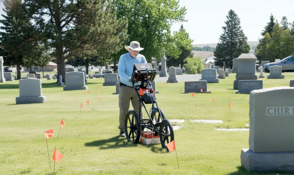
GPR transmits electromagnetic pulses into the soil. Different materials underground (compacted earth, loose fill, concrete vaults, metal caskets, air voids) reflect those pulses back at different speeds and intensities. The equipment then captures those reflections and converts them into visual data.
What emerges as a result of this process is a subsurface map showing disturbances, structures, and features invisible from the surface. When a grave gets dug, soil layers are cut through, mixed, and replaced. That refilled earth settles differently than undisturbed ground; it holds moisture differently, compacts at different rates, and creates a distinct radar signature even decades later that GPR can detect.
Finding Available Burial Space and Unmarked Graves
One of the most valuable applications of GPR in cemetery planning is confirming which areas remain available for future burials. Even in well-maintained cemeteries, records may not reflect reality. Plots purchased decades ago may never have been used, while other areas assumed to be empty could contain unmarked burials.
GPR surveys reveal the true status of burial plots by detecting soil disturbances characteristic of interments. When a grave is excavated and refilled, the disturbed soil creates a distinct signature that differs from undisturbed ground. This allows technicians to identify which plots are occupied and which remain genuinely available.
Detecting Subsurface Hazards
GPR is also used to detect various subsurface hazards that complicate cemetery planning. These can include burial vaults and structures that create strong radar reflections, utility lines like water pipes and electrical conduits, extensive tree root systems that interfere with burial operations, large rocks that make excavation difficult, and voids from settling or erosion that create safety hazards.
Benefits of Non-Invasive Cemetery Design and Planning
The non-invasive nature of Ground Penetrating Radar makes it ideal for cemetery environments wherein respect for burial sites is imperative. Unlike excavation or soil coring, GPR equipment rolls across the surface without penetrating the ground, disturbing remains, or damaging monuments.
GPR surveys can be conducted quickly across large areas, providing comprehensive data efficiently. The digital data integrates with Geographic Information Systems (GIS), creating permanent records that support long-term cemetery planning. These records remain accessible for future reference, supporting strategic decisions about expansion, infrastructure improvements, and resource allocation.
Integration with Digital Mapping Systems
The true power of GPR for cemetery planning emerges when survey data is integrated with comprehensive GIS platforms. At ViaVista, we combine GPR findings with GPS coordinates, historical records, and visual documentation to create interactive digital cemetery maps.
This integration allows cemetery managers to search for specific plots instantly, view GPR data overlaid on satellite imagery, track available space in real-time, and generate reports for planning committees or regulatory agencies. Digital systems also preserve data permanently and protect cemeteries against data loss that may occur with paper records.
Limitations and the Importance of Professional Technicians
While GPR offers remarkable capabilities, soil conditions can affect performance. For example, sandy or dry soils typically allow for excellent radar penetration and clear results, while clay-heavy or saturated soils can limit depth and resolution. Burial age, depth, site vegetation, and seasonal variations also influence the effectiveness of this tech.
Interpreting GPR data requires specialized training and experience. Raw radar readouts display representations of reflected electromagnetic energy that trained professionals must analyze to identify meaningful patterns. Experienced technicians distinguish between anomalies representing graves and those created by natural features or utilities.
Meeting Requirements and Protecting Workers
Modern cemeteries need documentation for burial locations, safety protocols during construction, and environmental compliance. GPR surveys provide verified records that satisfy these requirements.
They also keep workers safe. Knowing where vaults, utilities, and other subsurface features are located prevents accidents during excavation or maintenance work. Your staff can operate equipment safely and avoid buried obstacles that could damage machinery or create hazards.
For historic cemeteries looking to get grants or historic designation, GPR documentation shows you’re managing the site responsibly and planning carefully for the future.
Frequently Asked Questions
What is Ground Penetrating Radar (GPR) and how does it work in cemeteries?
Ground Penetrating Radar transmits electromagnetic pulses into the soil and captures reflections that return when these waves encounter different subsurface materials. In cemeteries, GPR detects soil disturbances from graves, burial vaults, and other features without disturbing the ground. Trained technicians interpret the radar data to create burial plot maps showing burial locations, available space, and subsurface hazards.
How accurate is GPR in detecting available burial space?
GPR is highly accurate at distinguishing between disturbed burial soil and untouched ground. That said, results vary based on soil type, moisture levels, how deep burials are, and overall site conditions.
What types of subsurface hazards can GPR identify in burial grounds?
GPR detects burial vaults, utility lines, tree roots, large rocks, voids from settling or erosion, and construction debris.
How does GPR support future cemetery planning and expansion?
GPR supports the future of cemetery planning and expansion by giving accurate data about existing burials, available space, and subsurface conditions that inform strategic planning decisions.
Learn More About GPR
ViaVista’s professional GPR services provide cemetery managers with the accurate subsurface data needed to plan confidently for the future. Contact us today for a free quote and learn how our cemetery mapping services can help you make informed decisions for decades to come.