Cemetery Mapping Blog

How GPR is the Future of Cemetery Design and Planning
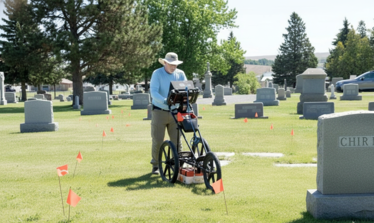
Modern cemetery design and planning require accurate information about what lies beneath the surface. Ground penetrating radar, or GPR, is a way for cemetery managers

Using Ground Penetrating Radar to Find Graves
Ground Penetrating Radar (GPR) has become critical for locating unmarked graves and preserving the integrity of burial sites. This non-invasive technology allows cemetery managers, historians,

Modern Cemetery Mapping and Information Systems Explained
Cemeteries may still rely on handwritten ledgers, weathered notebooks, or sketches that have passed through decades of caretakers. These records tell a story, but they

Cemetery Plot Maps: A Comprehensive Guide
Step into the world of cemetery plot maps and unlock the secrets hidden within the graves. In this comprehensive guide, we will take you on

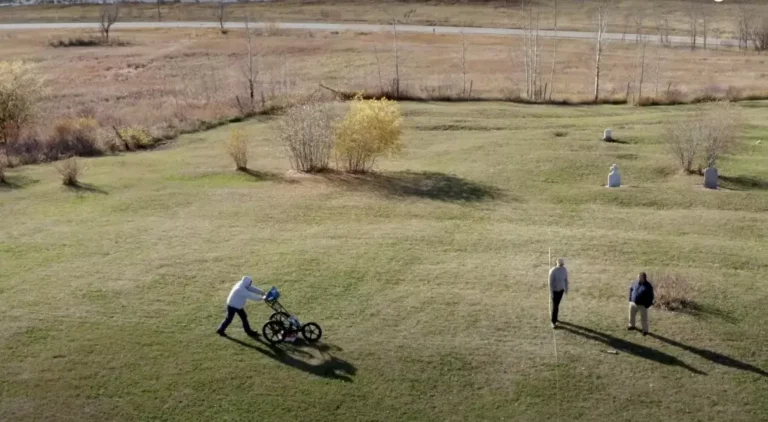
The Role of Ground-Penetrating Radar (GPR) in Modern Cemetery Mapping
Cemeteries are more than final resting places—they are living records of a community’s history, heritage, and loved ones. But over time, paper records fade, headstones

Top 5 Reasons to Map Your Cemetery Before the End of the Year
There are at least 5 reasons to map your cemetery before the end of the year. As the calendar winds toward year-end, now is the
