
Using Ground Penetrating Radar to Find Graves
Ground Penetrating Radar (GPR) has become critical for locating unmarked graves and preserving the integrity of burial sites. This non-invasive technology allows cemetery managers, historians, and communities to rediscover forgotten plots, verify burial locations, and protect sacred ground from unintentional disturbance. At ViaVista, we use ground penetrating radar to find unmarked graves and subsurface anomalies […]
Cemetery burial plot map underway in Ritzville
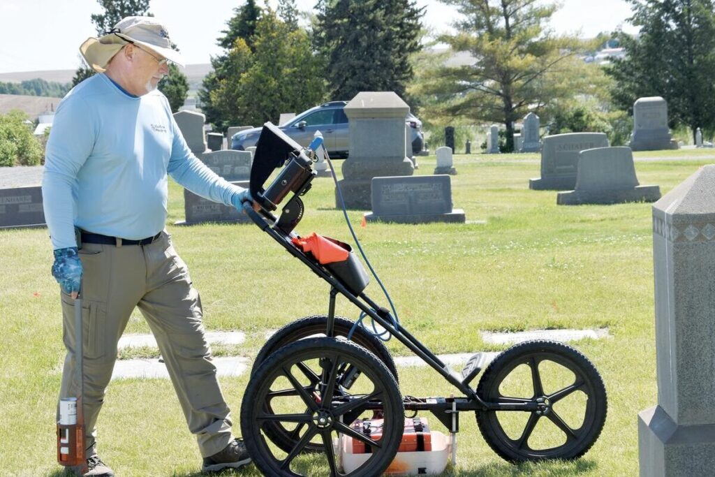
Burial plot map: In early-June, Scott Field of ViaVista Mapping began collecting field data and generating maps at the Ritzville Memorial Cemetery, a half-mile west of town on Rosenoff Road. Founded concurrent with the town in 1887, the cemetery added “Memorial” to its name after the Great Depression in honor of American veterans. As of Monday morning, […]
Remembering D-Day

On June 6, 1944 the United States military participated in the largest multinational amphibious landing and operational military airdrop in history. This assault led to France’s liberation from the German military and the eventual defeat of the Nazis. By the end of the D-Day invasion, more than 9,000 allied troops were dead or wounded. Eighty […]
Digital Cemetery Mapping in Ritzville, WA
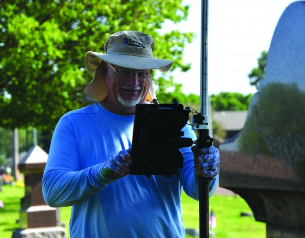
From the Ritzville Adams County Journal Digital cemetery mapping by ViaVista Mapping will begin in June starting with collecting field data and finishing with generating digital cemetery maps for the Ritzville Memorial Cemetery. According to a service agreement with the city, digital cemetery mapping services will include scanning for sub-surface anomalies and unmarked burials using cemetery ground […]
National Wreaths Across America Day

National Wreaths Across America Day is on Saturday, Dec. 16, and will take place at more than 4,200 participating locations across the country. This number of locations, which includes Arlington National Cemetery, is more than 500 above last year’s total. Wreaths Across America anticipates that more than 3 million volunteers—a third of whom are children—will participate […]
Finding Unmarked Graves
Finding Unmarked Graves in the news from Wisconsin Public Radio. We talk with a UW-Eau Claire professor who uses deep ground penetrating radar to detect mass graves containing the remains of people who disappeared in clashes a half century ago. Featured in this Episode Finding Unmarked Graves from Wisconsin Public Radio Want to know more? […]
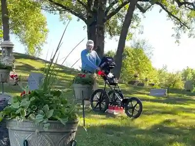
Finding Unmarked Graves at Cemetery
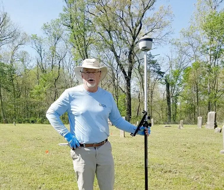
Finding unmarked graves in the news as reported by The McDonald County Press. Joyce Haynes of the Shelt Noel Cemetery Board said 46 unmarked graves were recently discovered at the cemetery. The board hired Scott Field of Via Vista Mapping, a GIS web map specialist, to bring ground-penetrating radar to search for unmarked graves. Haynes […]
Christmas Flourishes in Cemeteries
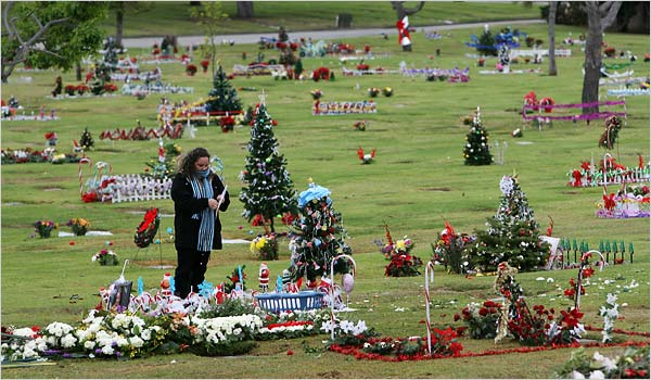
Cemetery: From the The Gainesville Sun Around the country, this is the season when cemeteries become homes for many families’ second Christmas tree, where devotion meets tinsel, “Let It Snow” garden ornaments and the occasional Santa swizzle stick. A kind of populist yuletide ritual is flourishing far from front yards, transforming the graves of loved […]
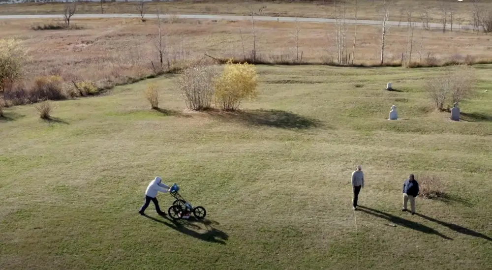
Cemetery Mapping News – Brandon South Dakota

Cemetery mapping news: If you’re driving past the Brandon Lutheran Cemetery this week, you might see a strange man with strange equipment walking the grounds in the blazing heat. This man is Scott Field, owner of ViaVista Mapping, who is digitally mapping all of the marked and unmarked graves at the Brandon cemetery located along […]